")


We sailed in July 2016 from Helsinki towards Saint-Petersburg and further east and north through the Russian inner waterways to the White Sea and the Barents Sea, aiming to arrive in Tromsø in Norway by early September. This is the fourth of four texts that have been prepared for the Flying Fish, the journal of the Ocean Cruising Club, and that can all be found here. The photos illustrating this series of texts are by Barbara Courvoisier.
Warm and sunny weather soon appeared following the rain and wind prevailing when we had docked in Arkhangelsk. Being ordered to remain at quay by the naval authorities was, at first, not a problem as we were looking forward to spending few days exploring the city and its surroundings.
Arkhangelsk is the city in which Masha, the Russian student who sailed with us from Saint-Petersburg, lives. She had mastered the radio and telephone communications with lock and bridge staff and with all sorts of authorities along the way with surprising authority for a young person with no prior experience of sailing, radio operation or the region we had travelled through. She was now eager to show us her city and its surroundings.
Arkhangelsk lies along the Dwina, a broad river on which wood is floated from the forests upstream. The wood is collected in large areas along the river banks, where industries in various conditions collect it for further transportation by ship or for use on site. Among the many industrial buildings, the one in best condition is bright blue and reminded us furiously of a well known Swedish furniture producer.

Fig. 1 Floated wood on the Dwina river
A long path winds along the Dwina river in the city. People stroll, walk, cycle in the shade of the trees. A beach invites to taking the sun or to bathing in the river, a temptation we resisted, being wary of its chemical composition. A pedestrian street in the city centre,Chumbarova-Luchinskogo, is lined with traditional buildings from the region that have been transported and re-erected there. Sculptures representing author Stepane Pisakhovand some characters from his stories can be found along that street. Cafes provide for food and drinks in the quietness of this part of the city. A comfortable atmosphere, somewhat unexpected compared to what we had seen in the previous weeks. Arkhangelsk is certainly the most pleasant city that we came across since Saint-Petersburg, at least during an unusually hot August.
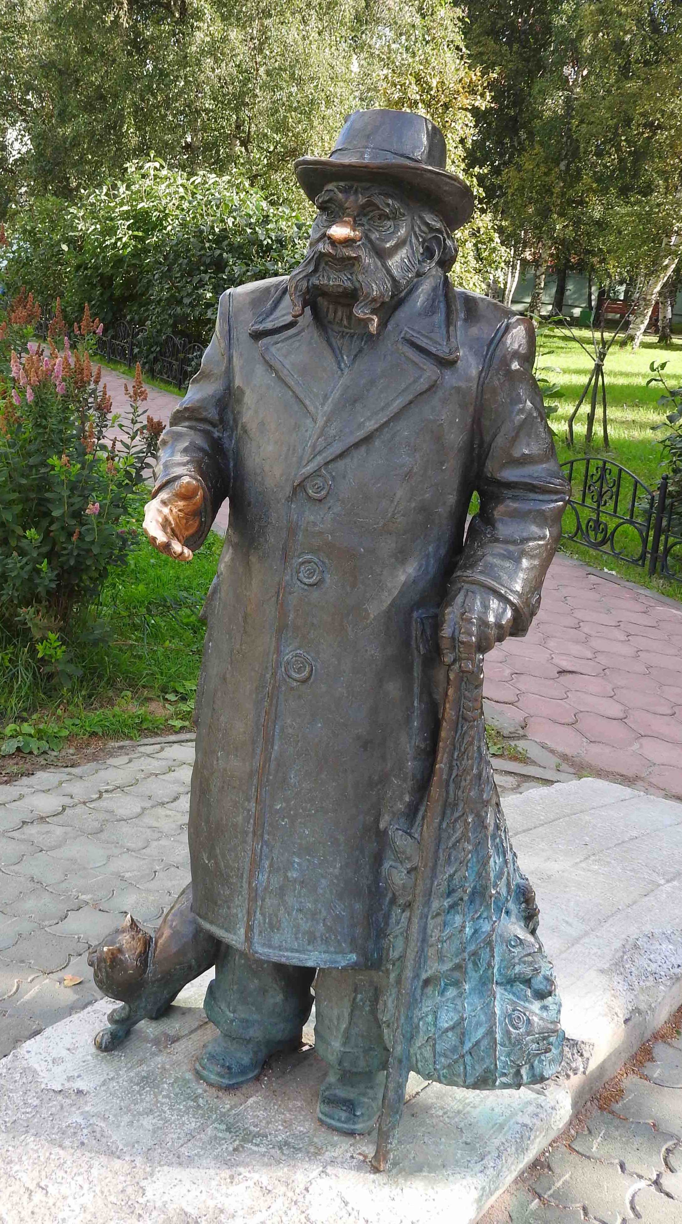
Fig. 2 The poet Pisakhov
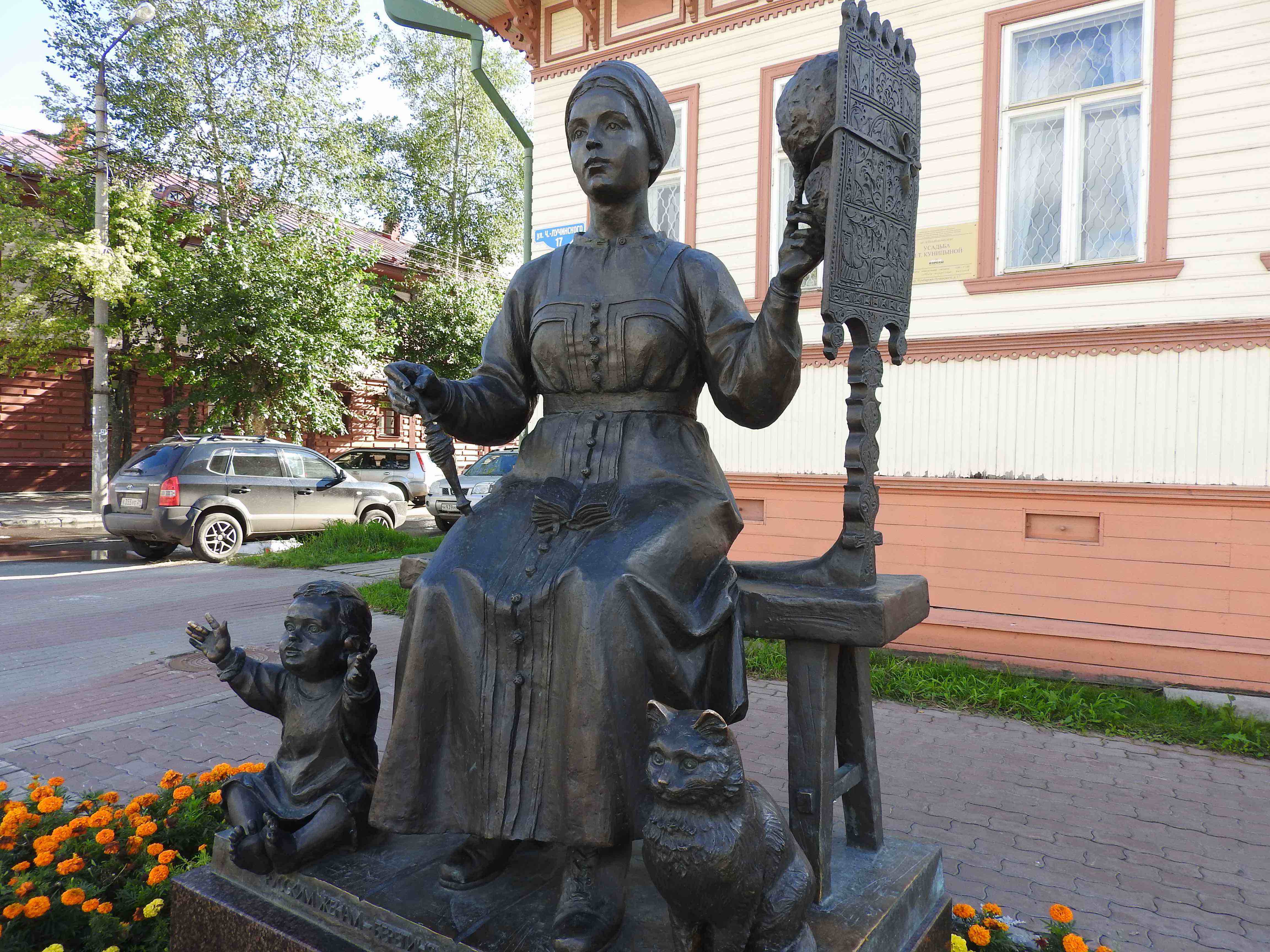
Fig. 3 The ideal women. From a story by Pisakhov
There is a university named after Lomonosov, the scientist and poet of the 18th century, in Arkhangelsk. This is where Masha had studied. Knowing my long university connections she invited us to visit its main building. Long corridors and lecture halls, similar to those of many universities in the world, brighter and cleaner though than many I have seen, can be seen there. The prominent place of arctic studies in the university research and teaching programmes is very visible on posters along the halls, illustrating the strong interest of the Russian state for this region of the planet.
The visit of Peter the Great and François Le Fort (see previous episodes) at the end of the 17th century was a turning point in the history of the city. This visit is at the origin of a still lively ship building industry. The shipyard created at that time is still operating only few hundred meters from where Cérès was moored. It is also at that epoch that the strategic importance of creating a shipping channel between the northern oceans, hence the Atlantic basin, and the Baltic sea was discussed. It then took some 250 years to transform the idea in reality. The Belomorsk canal, on which we had sailed some days earlier, was indeed created with the sweat, tears, blood and lives of tens thousands prisoners of Stalin’s system in the early 1930s. The military naval tradition remains vibrant until now: Arkhangelsk was the harbour where allied convoys ended their trip during the Summers of the second world war (in Winter they stopped in Murmansk as the White Sea freezes). Nowadays the region is home to nuclear submarine construction, an activity we could have no access to.
The local history museum describes at length the importance of the great Tsar for the city and for the whole region. We were led through the visit of this museum by Gostev Igor Mikhailovitch, a historian working on a biography of François Le Fort. The man was happy and proud to show his museum to our Swiss crew who had just travelled on the footprints of the best known citizen of Geneva in Russia.

Fig. 4 The history museum in Arkhangelsk
But Arkhangelsk is not only a city where life can be good -in August-. It is also a city of wide avenues crowded by cars, a city of massive buildings with some definitively soviet monuments, including the inevitable statue of Lenin. Not all parts of the city are recommended to walk around at night, so much so, that it was difficult one evening to find a taxi driver who agreed to bring us back to the quay we had been assigned to to moor Cérès upon arrival.
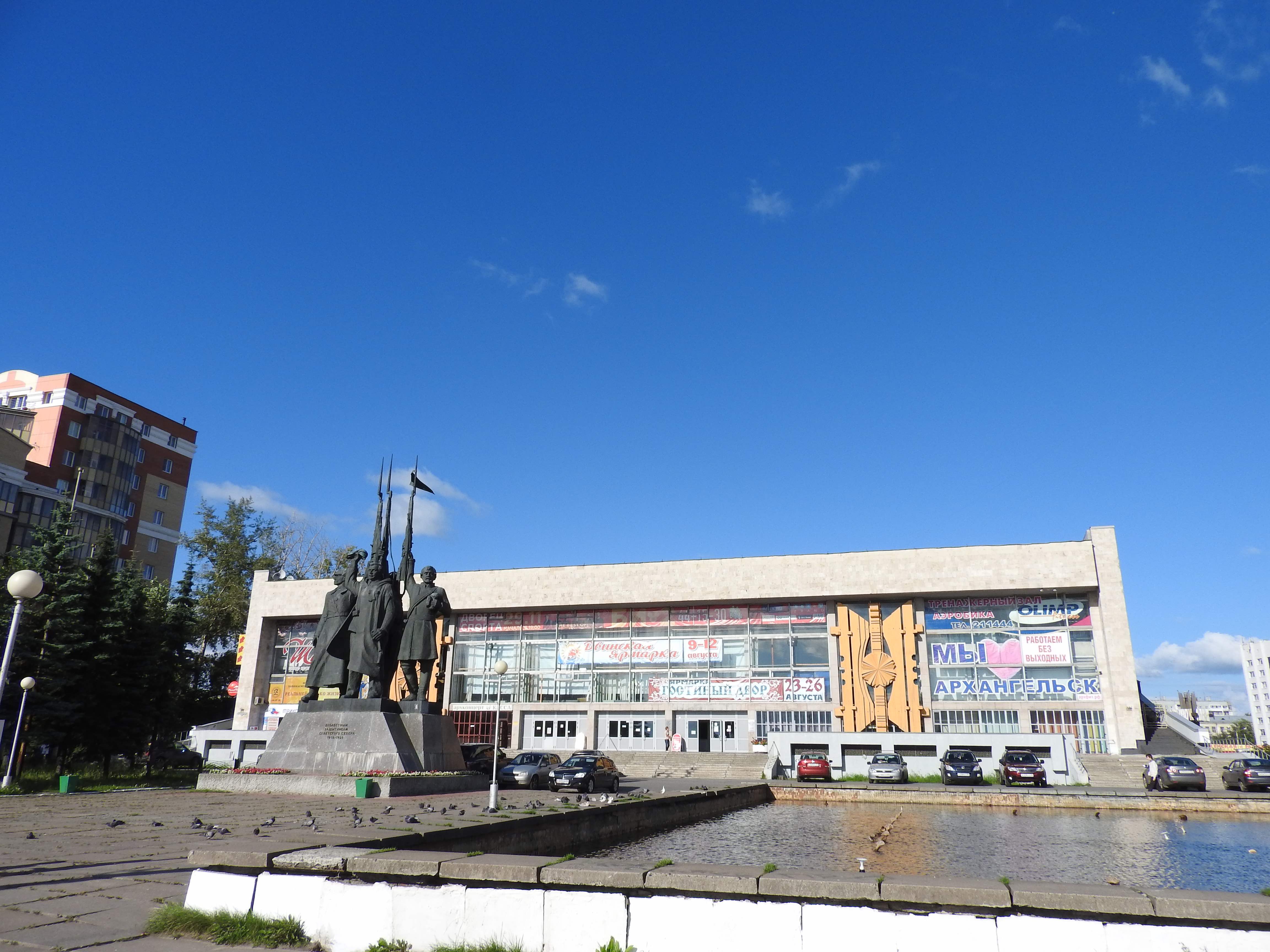
Fig. 5 War monument in Arkhangelsk
Some kilometres away from the city, one finds an open air museum, Malye Karely, where a number of farms and traditional buildings from Karelia have been moved and re-built. They illustrate the life in the whole region in past centuries. The interior of these houses testifies of a very structured way of life. One corner of the main living area, always the same, is reserved for an altar, the arrangement of the sitting order is clearly visible and different activities take place in different parts of the lodging. Visiting people foreign to the household were admitted in a part of the house only. Strolling in these low ceiling houses, dark even in a bright August day, one cannot but wonder how their inhabitants lived through the long arctic Winters: Darkness settles at 3pm or even earlier until the next morning at 10am or so. During all these hours there would be a bit of light from the fire in the living quarters of the houses, possibly some candles or a lamp burning some animal fat. No clock to measure the ticking of the hours, no books, with the possible exception of a bible. One does wonder how one could keep one’s body, mind and soul alert in these conditions.
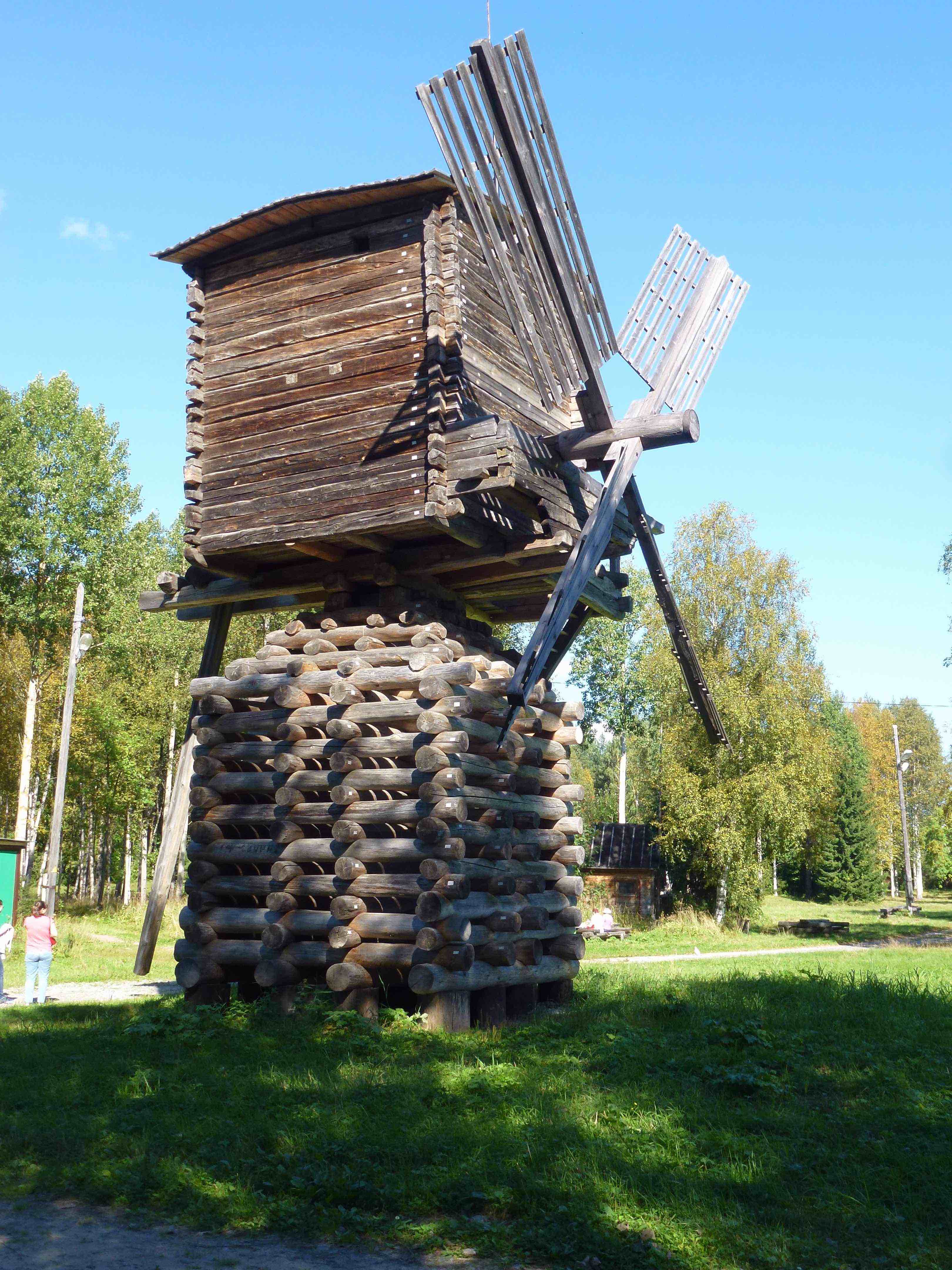
Fig. 6 A windmill in the open air museum Malye Karely
Days went by very pleasantly visiting the city and surroundings. There was, however, no sign that civilian navigation on the White Sea would soon become authorised again. This became worrisome because the season was advancing and because our Russian visas were to expire few days hence. I therefore contacted the general consulate of Switzerland in Saint-Petersburg and explained our situation to the Consul who, unsurprisingly, expressed that it was the first time he was confronted with this type of problem. While it was not in the power of the Consul to induce a modification of the orders of the Russian North Fleet, he did obtain its phone number. This number we gave to Vladimir, the OCC port officer helping us with all kinds of administrative questions, who had, however, also been helpless in this matter. One morning we were told through that channel that we would be allowed to leave. I therefore went by taxi with our local contact, another friend of Vladimir, to the offices of the harbour authorities, where we were told after numerous calls and discussions that the information was inaccurate and that we were not allowed yet to leave our berth. Another call came on the following Saturday late morning telling us that if we could swear to be out of the Russian waters in the Barents Sea by 04am on the Monday morning we would be allowed to leave. Since I had estimated that we would need about 48 hours to reach international waters and since the time for exit formalities was to be added to this, I could only assure the authorities that we would do our best to meet their requirement. This was not good enough and we were ordered to stay. This had me then very worried, as I guessed that the week-end would be free of naval exercises, but that they would start again on the Monday morning for an unspecified length of time.
Fortunately, this proved wrong. We were told on the following Monday morning that the sea was open again and that we would be allowed to leave Arkhangelsk’s commercial harbour at 8pm after the last cargo ship, a tanker immobilised as we had been, had left. A new taxi trip was organised to the harbour authorities, who duly authorised us to leave our berth and ordered us to reach the commercial quay, some 15 NM down the river, by 5pm in order to do the formalities to leave Russia. There was barely enough water in the river for our draught at that time of the day, but trusting that the bottom was soft we said good bye to Masha and left our quay. We reached the deeper part of the river, probably leaving a mark on the soft mud, and made it to the commercial harbour in time. We found a high quay with no docking place for a sailboat, but after having circled the area for some time, two uniformed men directed us to a floating crane where we were to tie up. These two officials came on board with Vladimir’s friend, indispensible as without Masha we would not have been in a position to communicate. They left after some time to come back equipped with a passport reading portable apparatus and went through all paper work, apparently on behalf of all relevant authorities. When everything was finished they asked me to sign a formal promise that we would not touch Russian territory again on our way to Kirkenes in Norway,. In the mean time the last tanker was seen leaving as expected at 8pm. The last official left Cérès veryformally and elegantly kissing Barbara’s hand. Vladimir’s friend and the officials finally waved us away. All of this was performed in a friendly easy going atmosphere, but with absolutely no consideration for tides, currents or weather conditions either in Arkhangelsk or under way. The last point being the most worrisome as we were to sail four days along a hostile coast on the White Sea and the Barents Sea, crossing the Arctic circle northwards. Fortunately the weather forecast showed no dangerous conditions, but it did predict some uncomfortable stretches.
The beginning of the journey was most pleasant. We motored the 20NM long channel leading from Arkhangelsk to the open sea in the evening twilight of a warm August day first in the forest then at sea in a beautiful dying light. The following day on the White sea was easy and pleasant and led us the next night to the Gorlo, the straight some 25 NM wide and 80 NM long that links the White Sea to the Barents Sea. Our second night at sea, was magnificent, the Sun set over a long stretch of time, the night was such that the northern horizon remained just perceptible, northern lights were seen at the darkest of the night followed by a slow sunrise in gorgeous colours. Arguably the most beautiful night we had ever seen at sea.
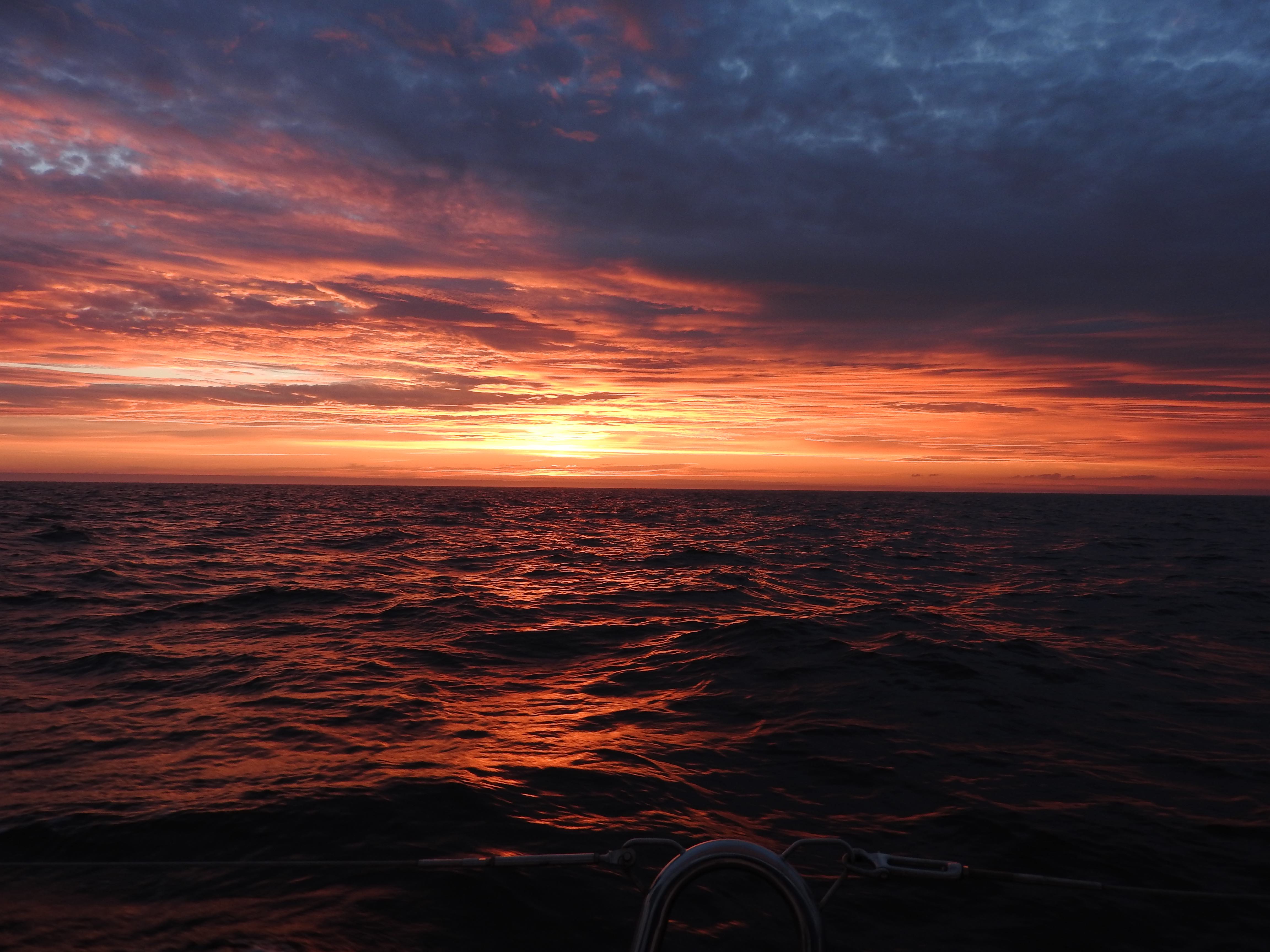
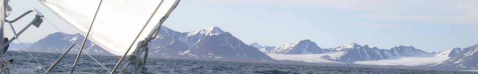
Fig. 7 Out of the Gorlo and onto the Barents Sea
This was not to last long. A heavy fog settled in in the middle of the following morning, making us thankful to have a well functioning radar. Fog was followed by rain, a bumpy sea and strong winds. This was the first of the two depressions we were to be bestowed with during that crossing. Unpleasant, but indeed not dangerous. We thus reached in the afternoon the point where we were to cross into international waters, a point which coordinates had been specified to us, and where we were to call the Russian coast guards; which we did, without being answered. Shortly after leaving the Russian waters our path crossed that of a white completely closed ship without any identification sign and no AIS signal. Its deck was stuffed with antennae of all sizes and shapes, obviously some power intensely listening to the radio communication activity on the Kula peninsula.

Fig. 8 Fog in the Barents Sea
We sailed on, northeastwards, along the Murmansk area, where a large number of ships were seen anchored. We regretted not to have been allowed to stop there and sailed on. The second depression on our path approached on the evening of the third day of the crossing. We had hoped that the associated westerly winds would allow us to sail fast and comfortably the last part of our trip to Kirkenes. This was not to be and we motored across the Varanger fjord and south in a deep fjord to Kirkenes in a bitterly cold night. We arrived there at 4am on a rather unprotected floating deck.
In the morning I set foot on land to search for some form of officialdom to clear into Norway. This proved somewhat tricky. There was a custom’s office next to the pier where we had tied, but a sign warned that it would be open only on the following Monday. Since it was Thursday morning, I was little inclined to wait four days to do the paper work. I then wondered around with the passports of the crew, three Swiss and a Russian one, but saw no sign of authorities other than a police station where I went. Following the Russian bureaucracy it was somewhat surreal to enter a police station telling the officer:
“-Good morning, we have just sailed in from Russia, could you indicate what procedure we should follow to clear in?”
And be met with a smile, but with no further help, except to point to the next building where an immigration office was to be found and where, I was told, somebody might be able to help.
In the immigration office I told my story to a lady who seemed as helpless as the police officer and enquired about my nationality. After some hesitation and discussion as to the respective status of Switzerland and Norway with respect to the Schengen area and the European Union, the lady left to see with her boss what was to be done. The boss came down with the lady and told her that she could stamp our passports while she told me that this was all we had to do. No need to wait for customs or any other formalities. We were happily waved in the Schengen area.
Kirkenes is almost 70 degrees N. At these latitudes, end of August is already autumn: The leaves are yellow and brown and falling; the weather is unstable and cold. While waiting for another depression to travel trough the area, we visited the local museum. It tells the story of the region in the 20th century with a strong emphasis on the Second World War in the area of the Varanger fjord on one side, and of the Sami population on the other side. The war history is told through a relatively small number of objects assembled in scenes in front of which one finds a binder containing typically a three page long text in Norwegian, English, Russian and German. Although this arrangement is certainly against all canons of modern museology, we spent a whole morning reading the texts from the first to the last line. Rarely if at all have I seen a description of a war fought in the hardest conditions in a city that was burned down to the last house when the invaders left, given with such respect for the suffering of members of all parties to the conflict. In this case: Norwegians, Germans, Brits and Soviets. The texts are well written, lively, emphatic and to the point. The objects serve merely as illustrations to the written message.
One also learns in that museum that the Sami populations had lived following their herds of reindeers in the whole region in which no national boundaries were known until late. The appearance of frontiers, often synonym of taxation at each crossing, proved fatal to this way of life. There remains, however, a certain relativity to the reality of national borders in this harsh region where Norway, Russia and Finland meet. Street names are, for example, written in Russian and Norwegian in Kirkenes. We were furthermore told that discussions on fishing issues are dealt with locally to the satisfaction of all.
Strong westerly winds were forecast after the passage of the depression, but the reality seemed less dramatic and we left by a cold windy afternoon to reach Vardø, in the north east of the Varanger fjord, the starting point to round the northern most part of the European continent. That area, the Finnmark, is a barren massive polished 150 NM long rock in which few fjords are carved. The few well protected harbours are often hidden behind two layers of massive stone dykes. A good protection is, indeed, needed in this inhospitable part of the Earth.
We progressed westward to the Nordkinn, the northern most cape on the continent, in long cold and windy daily runs. We broke the throttle cable a morning while leaving our berth -which meant manoeuvring by sail only to find our berth again. Not finding a replacement cable on the spot, we resorted to old practices, tying a line to the engine throttle that was activated by a crew on orders from the skipper for the subsequent harbour movements, until a replacement was found. We met few fishermen, in quasi deserted villages, who told us stories about the royal crab invading these waters. One does not know whether this presence is a blessing, because the meat of the crabs is excellent and sells well, or a curse, because they devastate the grounds they conquer.
Fig. 9 Vardø
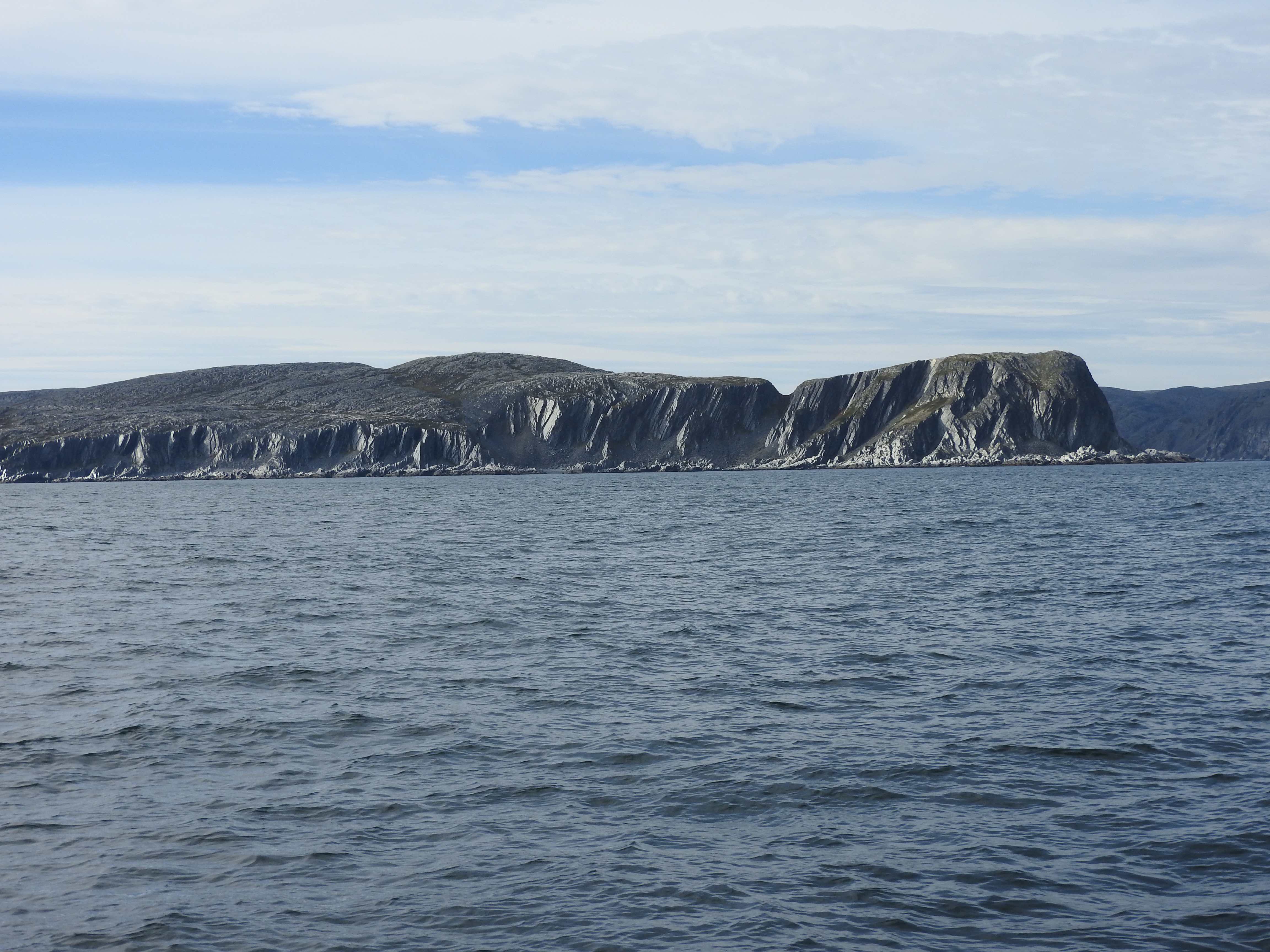
Fig. 10 Sailing along Finnmark
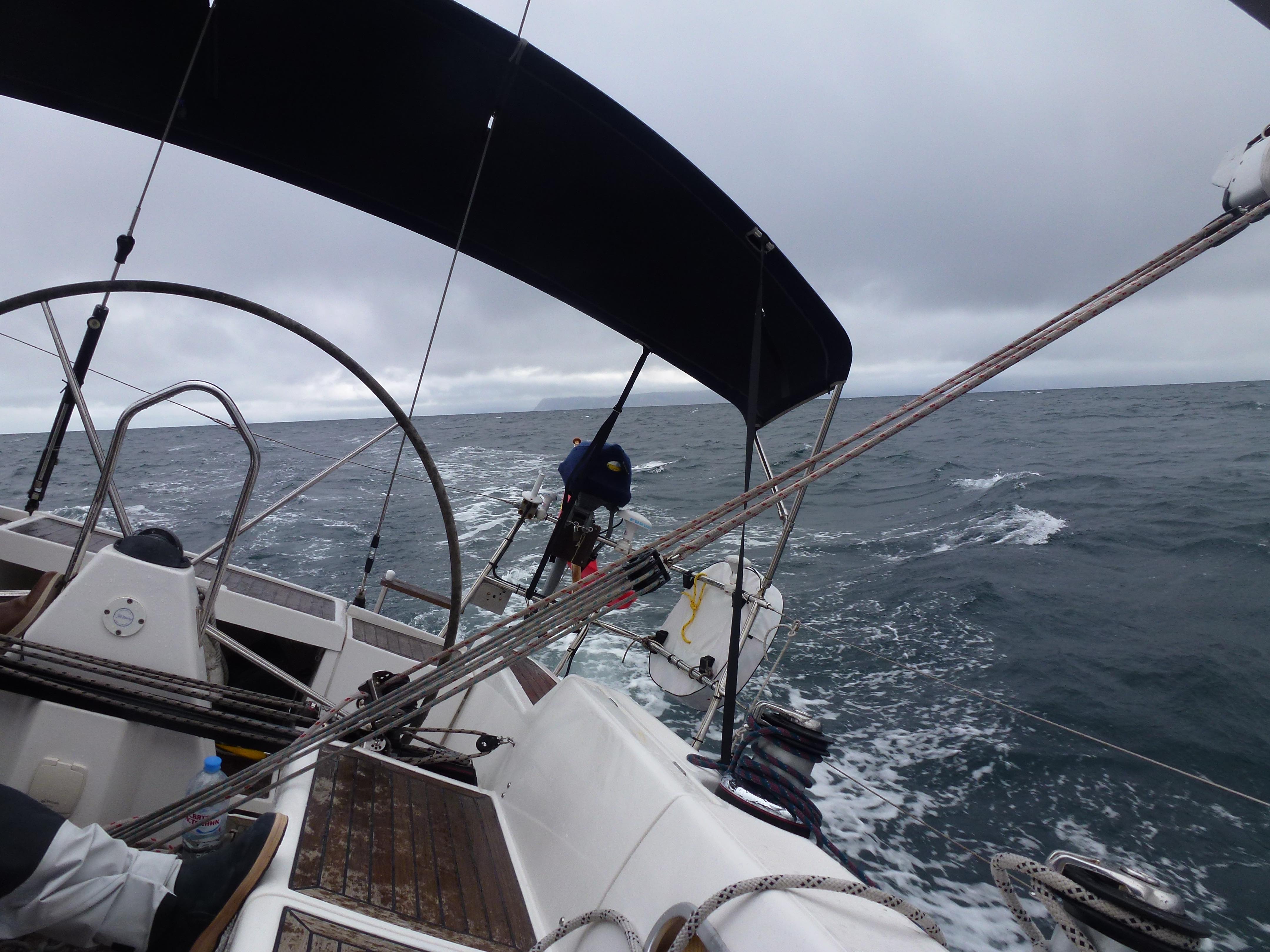
Fig. 11 Nordkinn, the northernmost cape of the European continent.
From the Nordkinn onwards our route turned lightly south again. We stopped in Hammerfest and Hasvik. Hammerfest is a small city, home of a major gas liquefying facility. The associated gas loading terminal lies on an island in front of the city. Navigation is forbidden when gas tankers move in the area. The not particularly joyful city leans on the hill behind the harbour from where one gets a nice view of the surroundings and a hint of the Sami way of life in the form of some restored habitat. Hasvik is a small fishing village on the southeast shore of Sørøya, one of the large islands in the very north of Norway. It was cold, windy and rainy there, sufficient reasons to look for a public establishment of one sort or another for a meal. There was an open one, which is not completely trivial at these latitudes. We discovered that it was owned and run by a Lebanese who had worked a number of years in a Swiss city we know well. He was now renting cabins and boats to tourists, apparently often from the Czech republic, who paid substantial amounts of money for deep-sea fishing in the surrounding. The place was lively, a real rarity in this whole region.
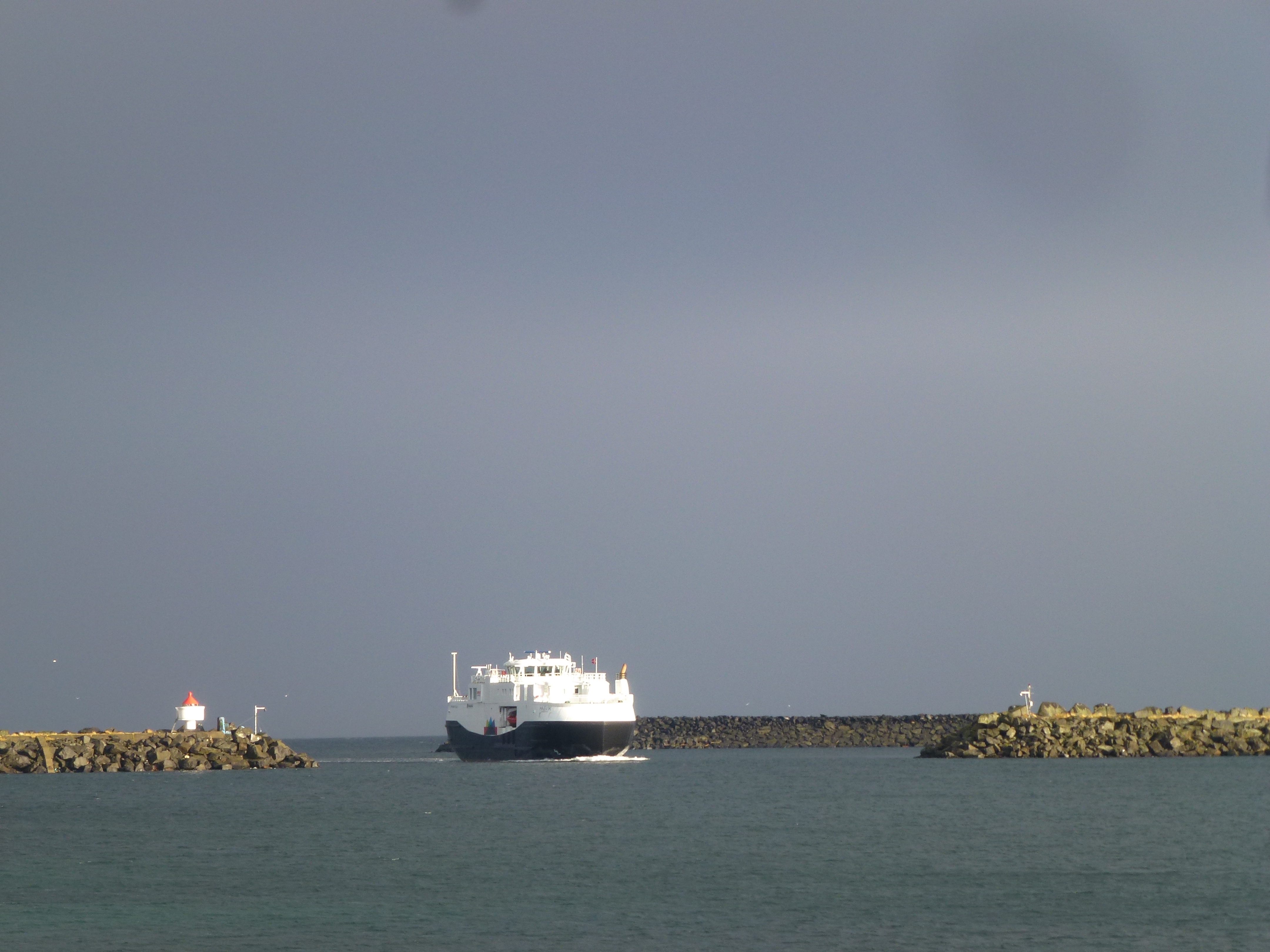
Fig. 12 Hasvik
We had arrived in Hasvik just too late to avoid the first gusts of wind and rain announcing a depression bringing strong westerly winds and rain. Having let that depression go by while enjoying the fish served by our new Lebanese friend, we left two days later towards Tromsø on an early grey morning. Several layers of clouds occupied the sky and were reflected by a flat and smooth sea. Rain was not far, fog was seen in some directions. No trace of wind, the deserted sea was like a mirror reflecting the greys of the sky. It is thus that we motored to Tromsø for the last leg of what had been a richly diverse trip from Saint-Petersburg. Cérès had circumnavigated the Scandinavian peninsula and was to spend a Winter in Tromsø, the third in a decade, but this time Barbara and I would spend most of the time on board.

Fig. 13 On the way to Tromsø